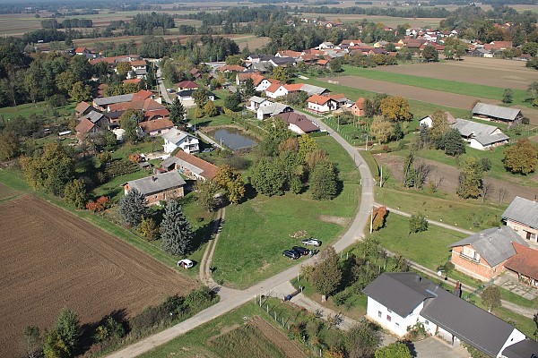
Survey plan for a Family house project in Tišina
It’s always good to go out, fly a drone, shoot some photos and turn that into digital 3D models. This time, we were invited to work on a small site in the village of Tišina in the Prekmurje region of north-eastern Slovenia.

Overview
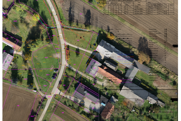
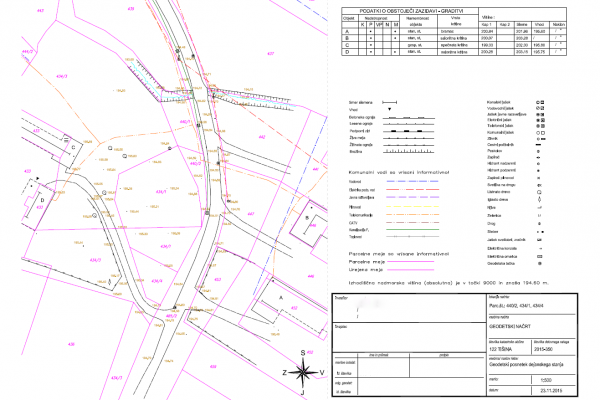
An architecture studio needed a survey plan for a building permit of a family home.
Classical terrestrial measuring methods are still widely used and are at times necessary. There are are some limits with the classical approach, though, especially when it comes to visualization and manipulation of your data. Performing photogrammetric measurements, on the other hand, sees us utilizing UAVs and large format cameras. This makes the process faster and results more accurate and more presentable.
Data Acquisition
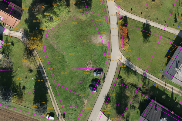
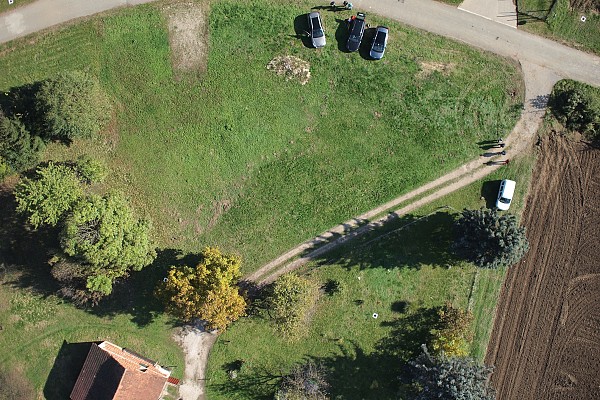
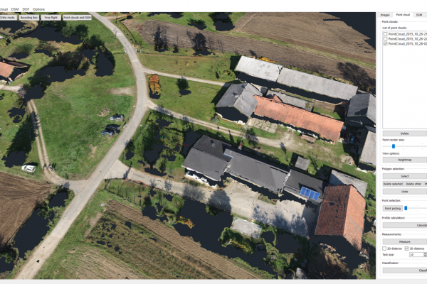
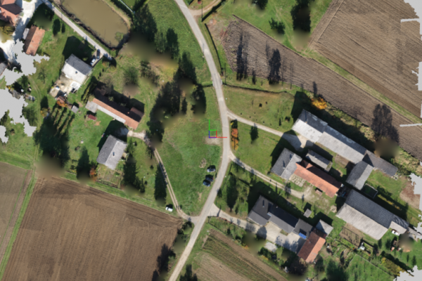
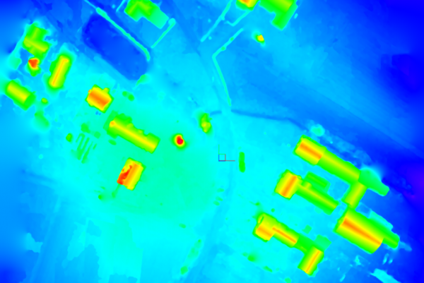
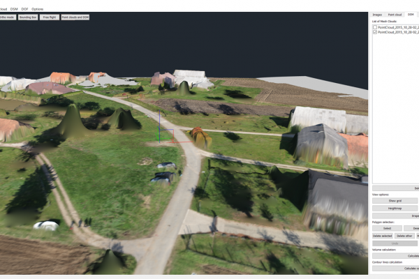
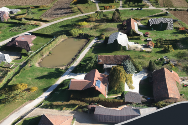
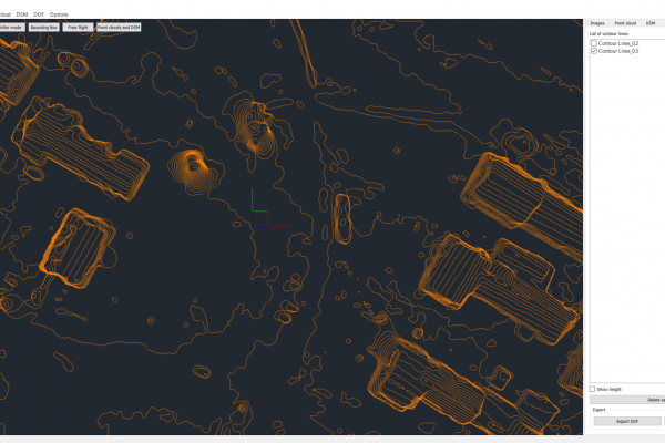
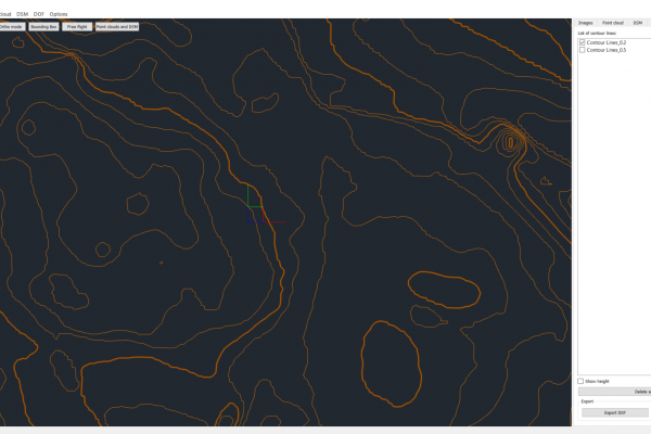
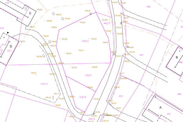
The DJI S900 drone and Olympus EPL7 camera proved to be a great package yet again. A flight to 80m altitude was needed to get the right set of images. Data was then imported into 3Dsurvey for processing. First we created a dense point cloud and generated a digital terrain model. Then an orthophoto map could be calculated to put it all together into a survey plan.
Tools and Specs
- Tools: DJI S900 drone at 80m altitude
- Camera: Olympus EPL7
- Positioning: GPS used to place Ground control points
- Software: 3Dsurvey
Outputs
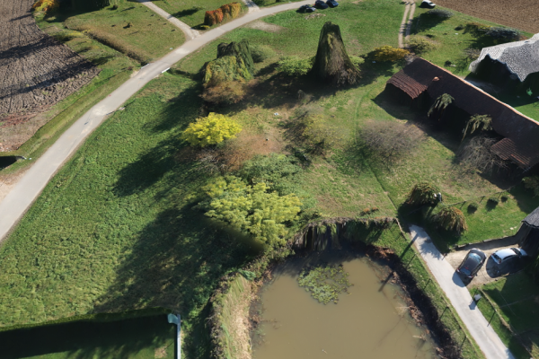
Check the screenshots below for the generated outputs and results.
Keen to try 3Dsurvey for yourself? Try it free for 14 days!

