Using photogrammetry for planning bridge renovations
Project Overview
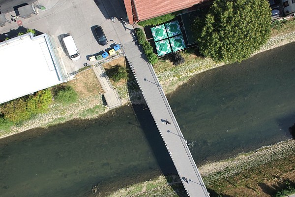
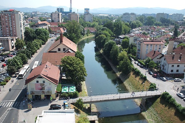
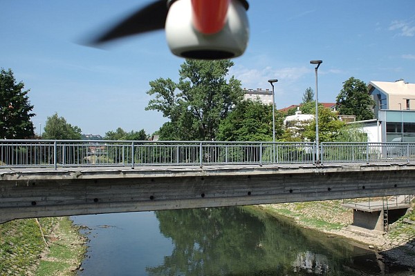
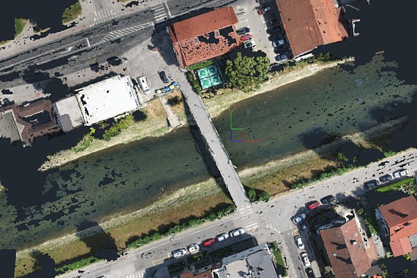
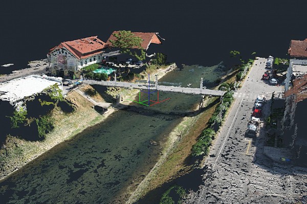
Aerial photographic methods are extremely efficient for gathering and showing certain situations. Using an unmanned aircraft vehicle/Drone we gathered aerial photographs from different perspectives and created a 3D model of a bridge.
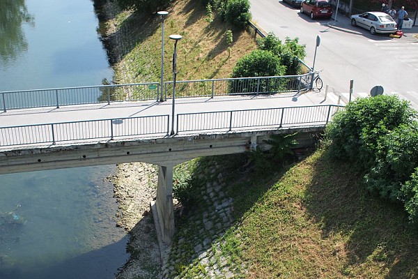
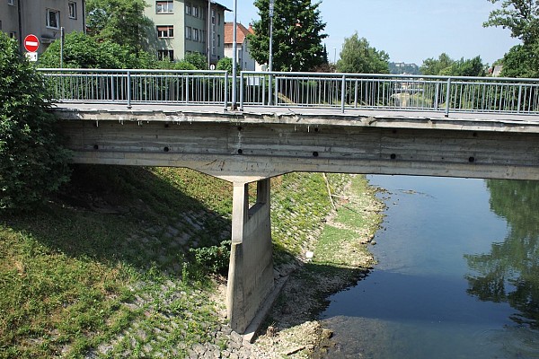
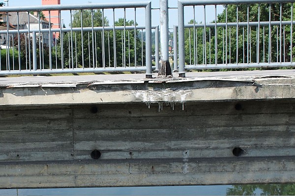
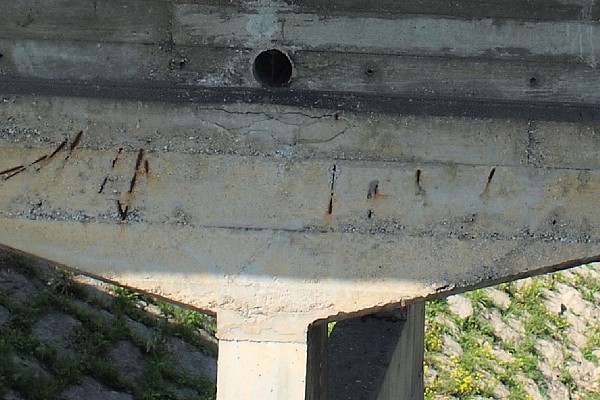
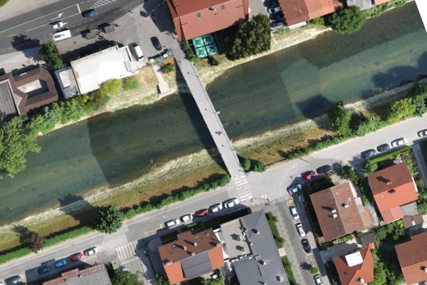
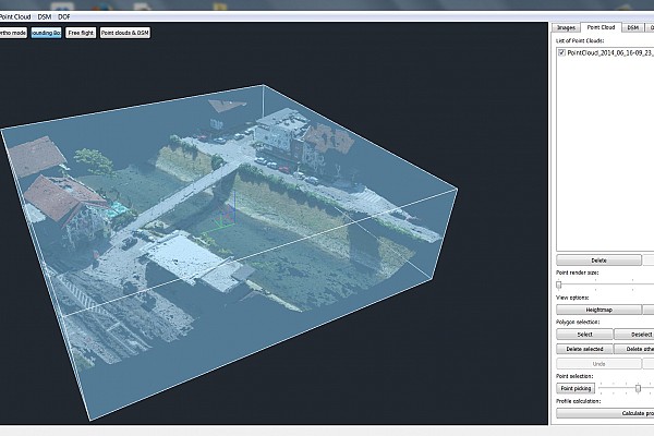
The data – orthophoto plan, point cloud and oriented photographs – will be used for the reconstruction of a bridge across the Ljubljanica river. Using photogrammetry technology enables us to show and examine all existing cracks, faults and potential dangers that need to be considered when renovating the bridge.
Images and Output

Keen to try 3Dsurvey for yourself? Try it free for 14 days!

