
Tutorials
All
Tools
Orthophoto
Workflow
GCP
Import
Volume Calculation
Reports
EXIF-GPS
Contour Lines
Classification
CAD
Telemetry
Features
Cloud

Basic 3Dsurvey workflow: Traditional orthophoto

Basic 3Dsurvey workflow: True orthophoto

Volume calculation

Ground control targets setup

Point cloud editing tools

Profile tools
CAD drawing with image support

Contour lines

Geoid tutorial

How to calculate contour lines

3D model orientation with EXIF/GPS and Ground control points (GCP)

Point Cloud Classification

Unknown camera parameters

Orthophoto mosaic maps merge

How to use Bounding Box

Volume calculation based on two surfaces

Digital orthophoto recalculation

How to use CAD functions

Start - Image Import with GCP based orientation

Start – Image import with exif/gps based orientation

Start - Image Import with Telemetry based Orientation

Using 3Dsurvey Cloud

How to create a custom plane orthophoto

HOW TO USE BOUNDING BOX

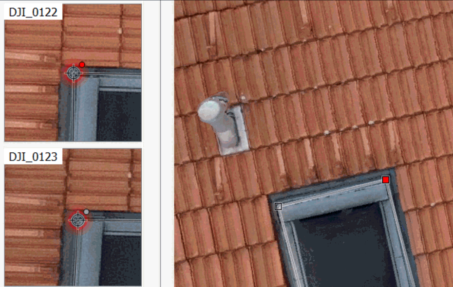
How to use Point picking in 3Dsurvey?

How to use drone mapping instead of measuring wheel

Create new 3D points for survey map connection from UAV data

Geo-reference your model in minutes: ground control points orientation

Stockpiling & Quarrying w/ drones! Generate detailed measurements report

Create a drone mapping project report

How to import LiDAR

REMOVING OBJECTS FROM CONSTRUCTION SITE DIGITAL SURFACE MODEL (DSM)

How to use measurements tool

How to drape an orthophoto over 3D terrain surface

DOF merge

CALCULATE TERRAIN CROSS SECTIONS FROM DRONE DATA

Classify and extract ground points from a point cloud

Combine classical terrestrial measurements with photogrammetry

Check point cloud accuracy in 3Dsurvey

Select every 2nd image and speed up the processing

How to use Merge function in 3Dsurvey

Accident Mapping for Forensics

GCP Orientation Troubleshooting

How to use point snapping function in 3Dsurvey