VIDEOGRAMMETRY – CREATING 3D MODELS FROM VIDEO
3Dsurvey is now able to export frames from video files and generate 3D models based on video frames. With the help of an improved algorithm, 3Dsurvey software now finds frames where the scene changed for more than 20%. This means you will get best end results even if you are not a video specialist and another great thing is that with the Automatic option, you don’t need to decide which N frames you will take (using every nth frame).
Capturing photos with your mobile phone can be overwhelming because you need to keep in mind the overlap between images and you always have to keep track of what you already did and what’s missing… Videos are more convenient – just press “record” and “stop” and you’re done! 3Dsurvey will take care of the rest. Our new version can be used as a super powerful tool for documenting sites like excavation for sewers, heating pipes, gas pipelines etc.. You can always check what’s underneath the (paved) surface later.
IMPROVED BUNDLE ADJUSTMENT SPEED AND ROBUSTNESS
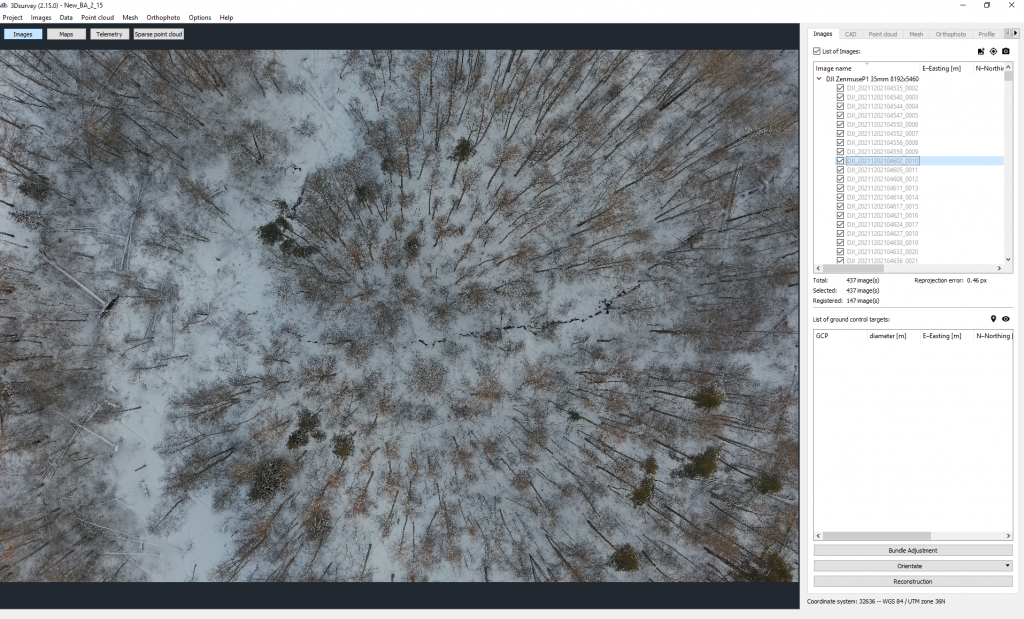
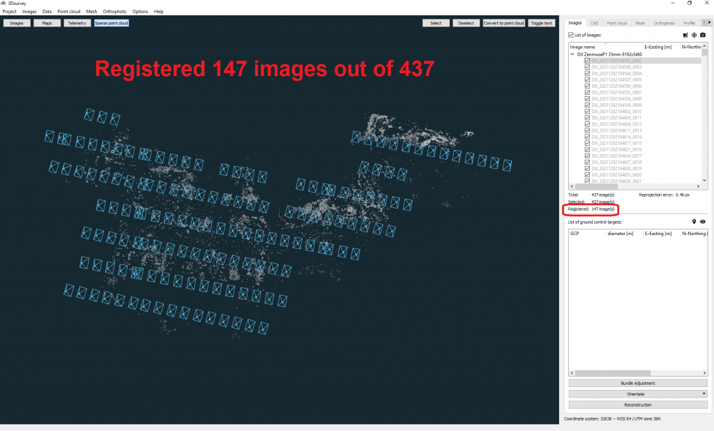
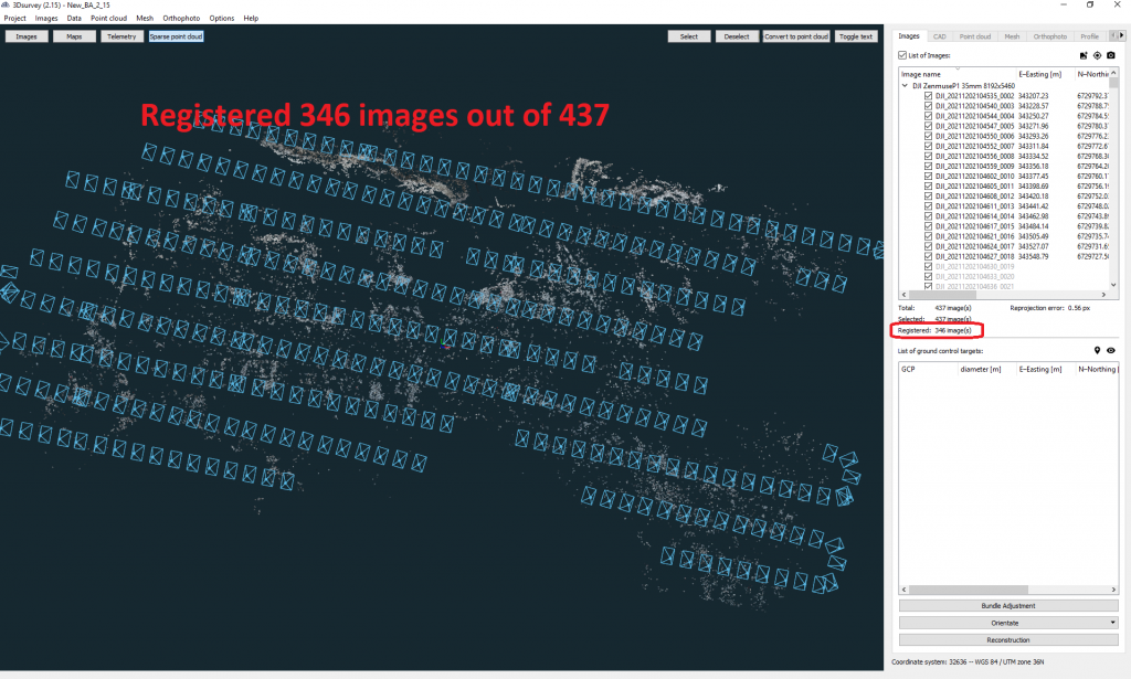
In previous versions, in case you had images from areas with bad texture, high forest areas or blurry images (due to low light conditions, bad weather, water areas and similar), bundle adjustment didn’t register those images. As a result you could not get enough images to create a complete area map. Great news – now you can!
With the improved bundle adjustment algorithm, the software now registers 40% more images with bad textures. We also improved the speed of the processing for bundle adjustment for more than 30%! Now, you don’t have to worry about low quality images anymore!


COLORIZATION
LIDAR point cloud from a drone or terrestrial laser scanner usually comes without realistic colors, representation is therefore limited. With the help of a new option in the 2.15 version you can easily colorize your LIDAR point cloud based on photogrammetry images and work on more realistic models with the support of realistic colors!
OBJECT TRANSFORMATION TOOL
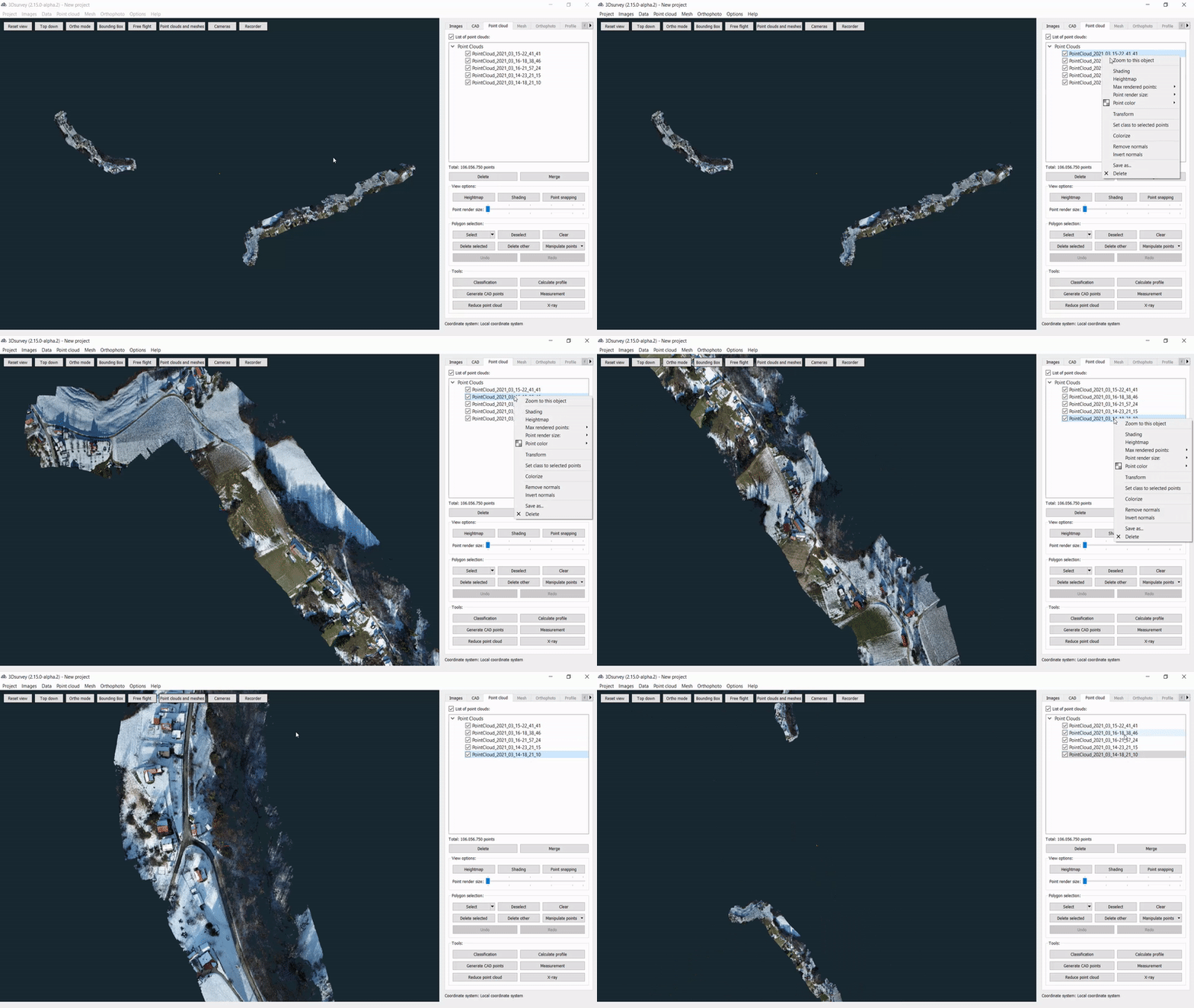
No more pain when importing models which are not on the right coordinates or not geolocated! You can now combine them with calculated realistic models in 3Dsurvey 2.15 – easily move, rotate and scale the model to the right size and coordinates with our all new Object transformation tool! Works on imported or calculated OBJ models, point clouds or any other data types! Feature can be used in following situations:
1) Placing a design model in real space (for architects and designers)
2) Placement of the captured 3D model on the right coordinates, scale and orientation in space:
3) Two coordinate systems – no need to calculate again
IMPROVED CAD SNAPPER SPEED WITH THE HELP OF “TREE STRUCTURE”
Since always, 3Dsurvey has had a great CAD integrated engine for drawing CAD lines and connecting survey maps. But now, it’s even better! When you have a bigger point cloud (plus 50M of points), CAD snapper used to be a bit slower. In the new version, CAD snapping function works fast and smoothly, no matter the size of the point cloud you are vectorizing! No more waiting and worrying. Even vectorizing a 10km of road is now easy!
NOW:
ZOOM IN
You can now use right mouse click on Point cloud and use the Zoom in function to focus on your element of interest! Super useful in combination with the Transform function when you need to place two objects on different coordinates in a single coordinate system!

SUPPORT FOR ADDITIONAL COORDINATE SYSTEM – south orientated
From now on, users from South Africa, Slovakia and Czech Republic can use their local coordinate system with no additional corrections.

